
Walk Springfield Streets by Address
A street-by-street search works best as a chain. Start with the current parcel, since its number links the map, tax record, legal description, and later recorded instruments. Then separate the owner field from evidence about a household. The county tax system and GIS can show a parcel, but they cannot identify each person who lives there. Printed directories, newspapers, and a permitted voter-record channel answer narrower questions for a specific date.
- Normalize the house number, direction, street spelling, and city, then search the Sangamon County property system.
- Save the parcel number and exact situs line, then locate the same land in GIS and inspect nearby parcel shapes.
- Use the current owner and legal description to enter the Recorder's grantor and grantee trail.
- For an individual's own registration match, use the state voter lookup with name, birth date, ZIP, number, and street.
- For an older household, consult the Lincoln Library street section, newspapers, and maps for the target year.
The useful flow is address to parcel, parcel to owner, owner to deed, then date-specific household evidence. That sequence prevents a mailing label or map name from being treated as proof of current residence.
Springfield Street Search Fields
The Sangamon County Property Tax Search is the strongest first stop for a current Springfield address. A full parcel number or complete owner name bypasses the other criteria. With neither, use the address fields and refine broad results. The portal warns that more than 300 matches must be narrowed. For a single-digit numbered street, a leading zero may be needed.
| Search field | Input | Springfield address use |
|---|---|---|
| Parcel Number | Text, usually 11 digits | A complete parcel bypasses other fields. |
| Owner Name | Last then first, or first letters | A complete owner name bypasses other fields. |
| House Number | Text | Pairs with street when parcel and owner are unknown. |
| Direction | Blank, E, N, S, or W | Separates similar addresses. |
| Street Name | Text | May need a leading zero for one-digit streets. |
| City | Select Springfield | Filters the countywide system. |
Results show Owner Name, Parcel Number, Address, and an Action menu. Actions include Parcel Summary, Current Assessment, Sales Details, billing history, tax sales, and other parcel views. Use the live record date because assessment data changes.
Map Springfield Parcels in GIS
The Sangamon County GIS viewer adds location and shape. Its controls include Search Parcel, Locate, Layers, map click, latitude and longitude, Measurement, Print Map, Create Property Report, Create Property Map, and report downloads. Select a parcel, then inspect the lots beside and behind it. A road, alley, easement, rear lot line, or water feature may alter which parcels are truly adjacent.
GIS is not a legal survey and not a household roll. Record each parcel number and run it through the property portal on its own. This is useful along a long Springfield street where one visual sweep can reveal city-edge parcels, unusual lot shapes, or land with only a legal description.
The official GIS map provides the parcel context used in a Springfield street directory search.
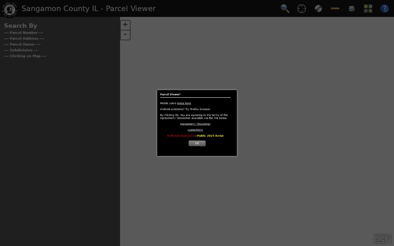
The map connects an address to physical land, while the assessor and Recorder supply owner fields and recorded documents.
Springfield Records Indexed by Street
Each address source answers a different question. A street directory becomes reliable only when the record type, date, and access limit stay attached to every name.
| Address source | What it can show | Access route |
|---|---|---|
| Property tax record | Listed owner, parcel, address, assessment and sales links | Free county portal |
| County GIS | Parcel shape, map context, nearby lots, reports | Free viewer |
| Recorder instruments | Grantors, grantees, deeds, liens, plats, book and page | Online, terminal, and microfilm |
| City permit files | Applicant, owner, work, street-name and annexation clues | City Clerk request or counter |
| Printed directories | Past occupant, street section, phone, cross-street, owner mark | Library and archives |
| Sanborn maps | Historic footprint, materials, use and number context | Digital and local files |
Voter records require care. Illinois's public lookup is an individual match screen, not a browseable block roster. County walking-order lists are restricted products for permitted political or governmental use.
Three Springfield Address Keys
A parcel card may place three different addresses near one another. Confusing them can send a street search to the wrong person. The sampled county parcel showed a Springfield ZIP without a normal street situs line because the tract was farm land.
- Parcel
- The county's numbered unit for assessment and mapping, linking tax, GIS, and deed research.
- Situs address
- The physical location assigned to land, which may differ from the place receiving tax mail.
- Legal description
- The recorded land description used to keep a deed chain on the same tract.
- Plat
- A recorded drawing of lots, blocks, streets, and subdivision geometry.
- Criss-cross directory
- A volume arranged by street and house number rather than only by surname.
Keep a separate line for each key. An out-of-state mailing address does not move a Springfield parcel, and a Springfield mailing ZIP does not prove city limits.
Follow Springfield Deeds by Street
After finding the parcel and current owner, move to the Sangamon County Recorder Land Records Search. The index is based on grantor and grantee names. A grantor transfers an interest; a grantee receives one. Match each instrument by parcel clue, legal description, recording date, document number, or book and page. A name alone can fork into unrelated land.
Online land data and images cover 1982 to the present. Deed books are scanned back to February 16, 1901, and 1950 through 1969 records are indexed and viewable. Older work may require the public terminal, microfiche, or microfilm. Free Data Search supplies data without images, Tapestry charges per search, and Laredo uses an account.
The Recorder's access page lays out those web and office routes.
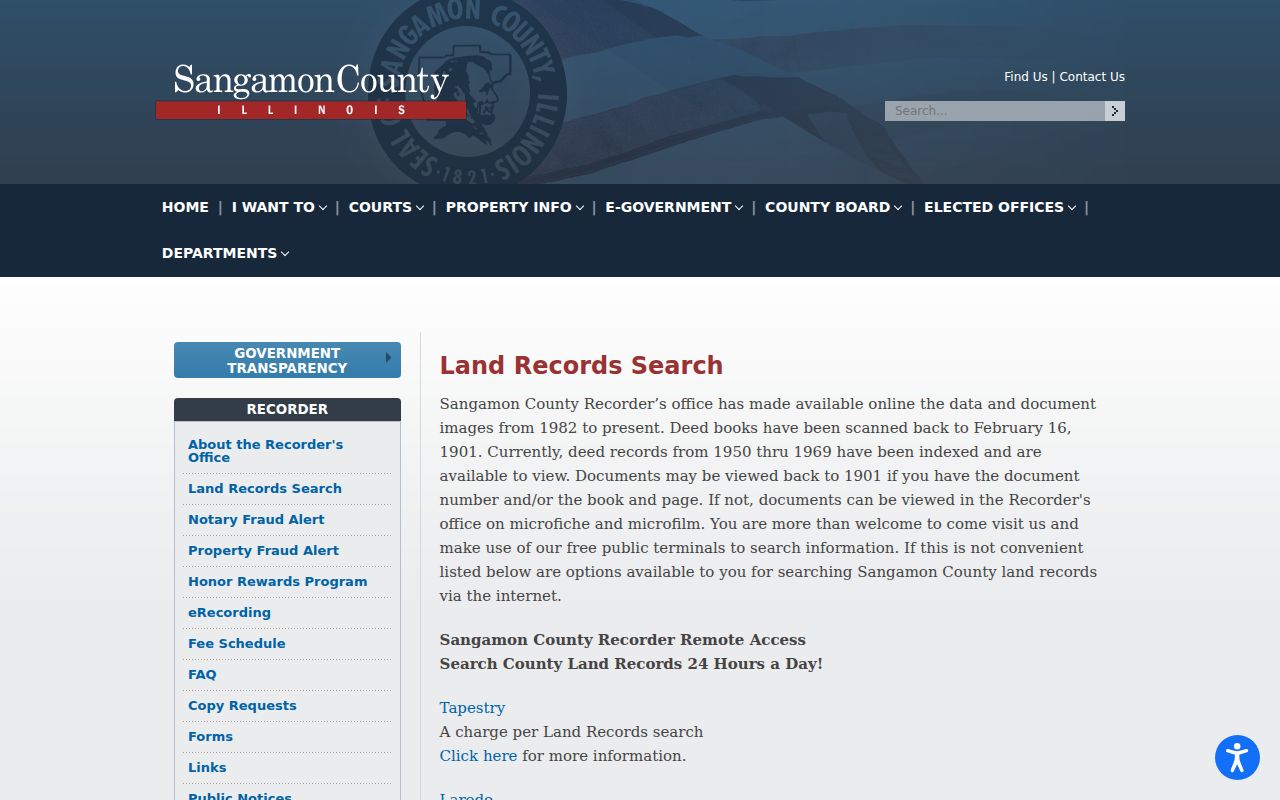
The route matters because an index row, paid image, and older film book provide different evidence.
Staff can use a correct address to help locate an owner. Farm ground generally needs a parcel number. Copies may be requested in person, by mail, or by phone, with an approximate seven-to-ten-business-day return. The office does not perform title searches or historical research.
Resolve Old Springfield Street Names
No verified single Springfield renumbering year was found. When an old directory address fails in a modern portal, do not silently replace it. Compare cross-streets and side-of-street marks in the printed entry, then use the parcel's legal description and an old map.
The City Clerk's FOIA Records Directory identifies street-name, annexation, house-moving, subdivision, engineering, Sanborn, Sidwell, permit-index, and Tax Index Number/Owner files. There is no located public permit search, so request the narrow series by address and date. Requests may be online, in person, by mail, email, or fax. Lincoln Library and the Library of Congress Sanborn editions from 1890, 1906, and 1917 add period map context.
Note: Cross-streets and legal descriptions are safer than forcing an old Springfield number into a modern address field.
Springfield Voter Address Limits
The Illinois voter registration lookup asks for first name, last name, birth date, five-digit ZIP, street number, and a street name loaded after ZIP. It confirms a matching registration, not all registered people on a Springfield street.
The county offers list and label orders with walking order, precinct, ward, and district choices. Those files are governed by the Illinois Election Code. They require a permitted purpose, sworn acknowledgment, fees, and the County Clerk process. Counter, phone, email, fax, and state screen-viewing routes exist, but generic FOIA cannot bypass election rules.
The state match form shows why identifying details are needed before the street control loads.
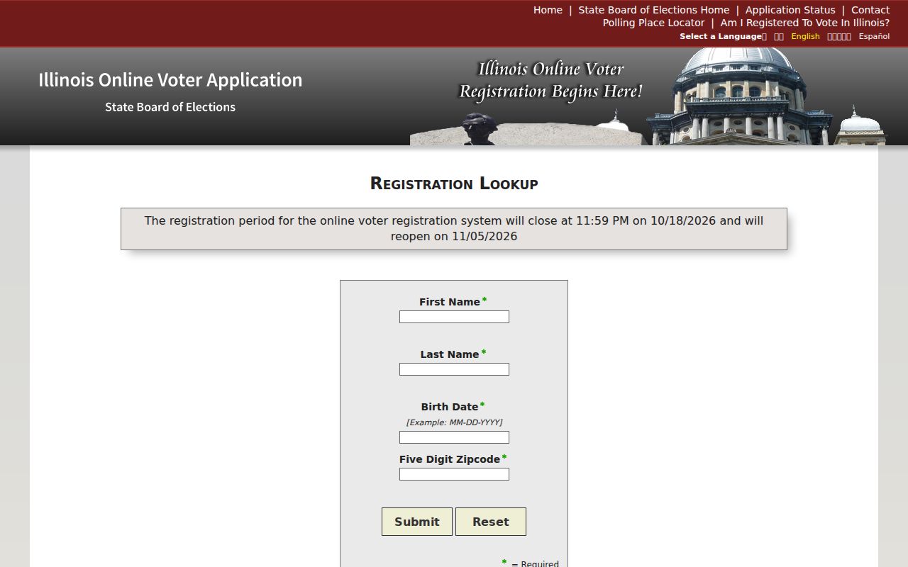
The screen can confirm one authorized match, while historical returns at Lincoln Library or UIS serve a separate civic purpose.
Springfield Streets in Printed Directories
For an address in the printed era, use the street section first and then the alphabetical name pages. The verified 1857–58 volume uses cross-streets, compass points, side-of-street marks, initials, occupations, and “h” for residence. A later Jeffersons scan includes spouse notation, child count, phone, residence marks, and a star for a property owner.
Lincoln Library's Sangamon Valley Collection has city and county directories, maps, newspapers, yearbooks, and vertical files, though its public page lacks a full shelf list. Ask staff for the street or reverse section for the exact year. The collection is covered in depth in the Springfield city directory account, while this street directory stays focused on an address.
A printed entry is an occupant clue, not a deed. Pair it with the parcel and Recorder record before stating ownership.
When Springfield Portals Stop
Older and unindexed street directory work often begins offline. The Recorder has free terminals and older film. Lincoln Library provides a noncirculating local-history room and staff help. The City Clerk accepts focused requests, and UIS, the Abraham Lincoln Presidential Library, the historical society, State Archives, and IRAD cover distinct archive sets.
Choose the custodian by record. A deed belongs with the Recorder, an assessment with the county, municipal permits with the City Clerk, and a historical newspaper or directory with a library. Phone or email first when the year run is unclear. That saves a trip and avoids asking one office to perform broad genealogy work outside its custody.
Limits of Springfield Street Records
A parcel record identifies a listed owner, not every Springfield resident. A deed records an instrument, and names may include trusts, estates, lenders, spouses, or representatives. GIS shows geometry. Directories describe one printed year. Voter systems and confidential files have access limits. Utility and driver address data are not household lists.
The Springfield street directory is strongest when each claim stays narrow: the assessor listed an owner on a dated record, a deed indexed parties, or a directory printed an occupant in one edition. No street directory can prove an entire current household. Verify key facts with the custodian.
Lawful use. Use Springfield address records only for lawful personal, family-history, property, or civic research. Never use a street search to stalk, harass, threaten, or harm anyone.